Support for Civil Engineering
Need support for civil engineering project ?
- Intergrated Survey Solutions
- Wall Survey
- Historic data
- UXO Survey Suite
Intergrated Survey Solutions
Need a survey of under water and surface combined?
PLA can acquire both bathymetric data, surface laser data, and photographic and combine them into a single seamless point cloud.
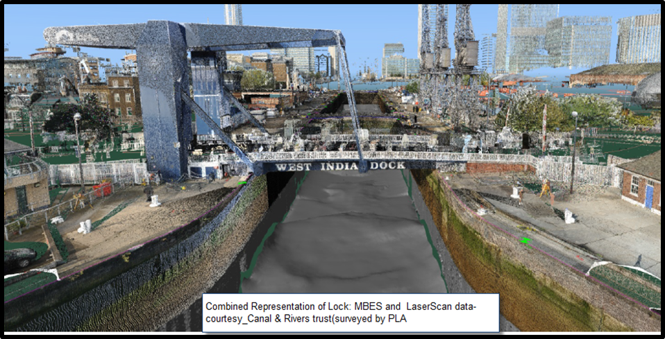
Benefits:
- All survey data in one place
- Easy to extract measurements
Deliverables:
- full xyz point cloud
- decimated xyz point cloud
- Fledermaus scene file
Wall Survey
Need to known the condition of your river or dock wall?
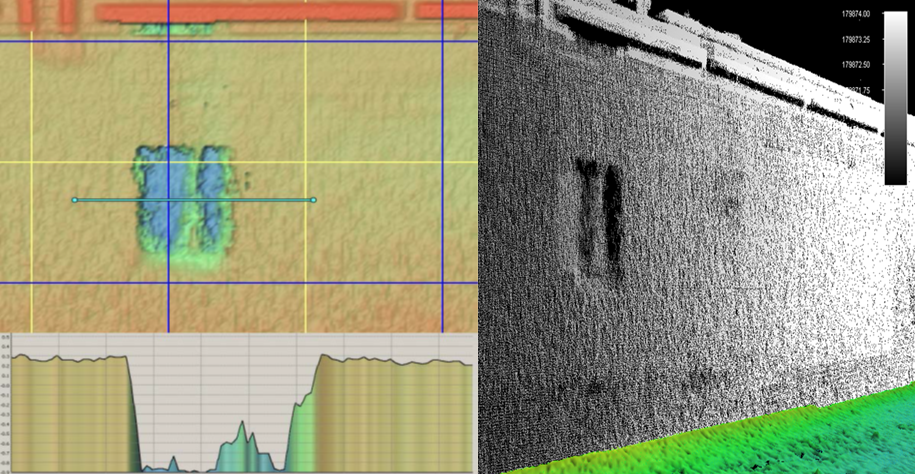 The PLA can acquire both bathymetric data of river and dock walls.
Benefits:
- Easy to take measurements from the data
- Can identify defects
- Historic record in case of any future damage
- Can reduce diver time and focus attention to defects
Deliverables:
- Full xyz point cloud
- Decimated xyz point cloud
- Fledermaus scene file
- Report
Historic data
Need historic river records?
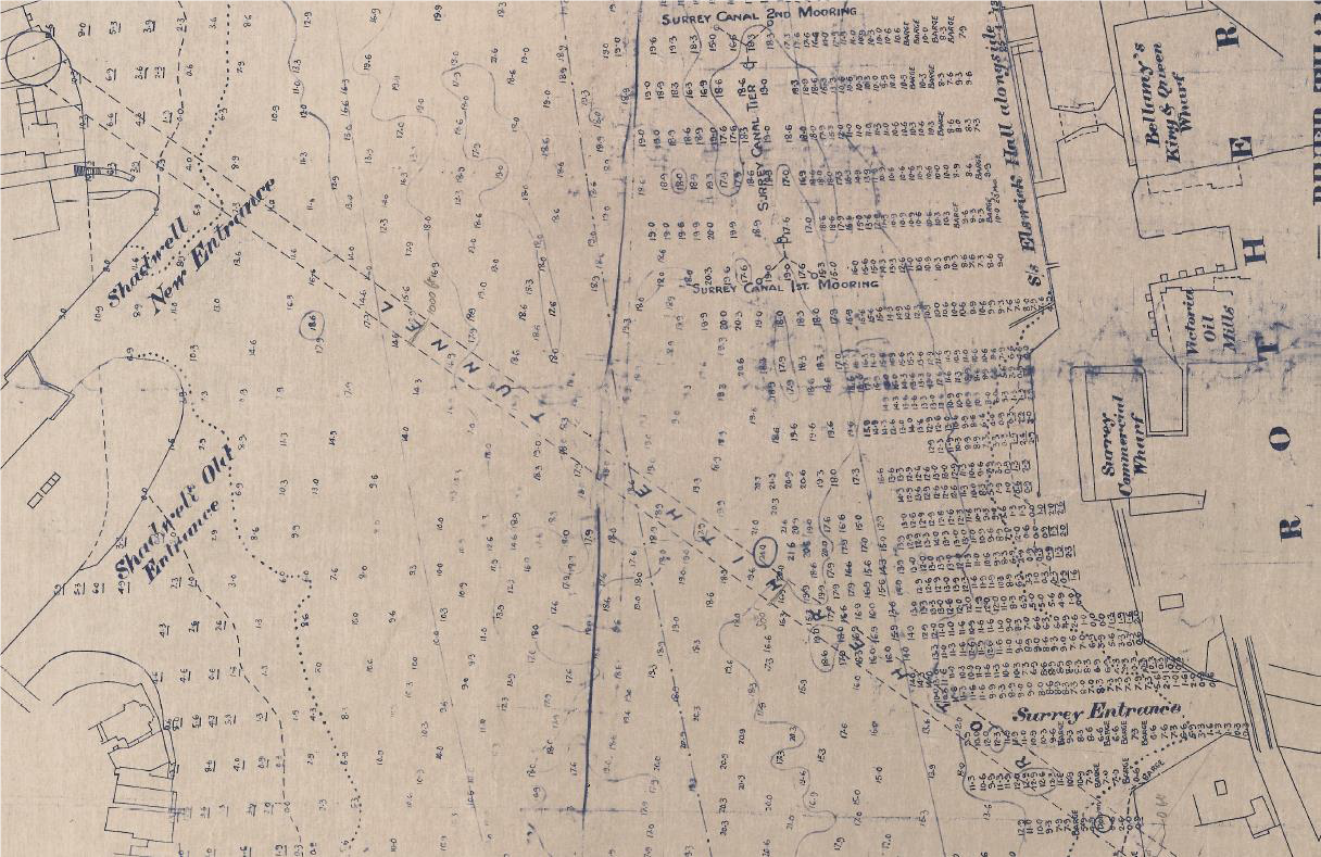 The PLA hold chart data (and other data sets) going back to early 1900s.
Benefits
- Know the site history
- Know the changes occurring over time
- Reduce the risk of surprises during construction
Deliverables
- PDF files
- Partially digitised-georeferenced
- Fully digitised with soundings extracted
UXO Survey Suite
Need a UXO survey prior to works?
The PLA can acquire a suite of surveys to provide a comprehensive UXO survey package, for example:
- Gradiometer survey
- Sidescan survey
- MBES survey
- GeoChirp 3D survey
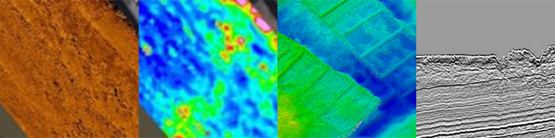
Benefits
- Reduced risk of unexpected UXO
- Reduced risk of delays
- Valuable data set that can be leveraged for other uses
Deliverables
- Listing of Potential Contacts, XYZ
- Target Characterisation Sheets
- Geotiff of GeoChirp 3D Coverage
- Survey report

